
Our Mission
“In partnership with our diverse communities, we strive to maintain, improve and preserve Riverside County’s infrastructure and environment. We will promote a high quality of life by consistently and fairly enforcing regulations to preserve existing neighborhoods, properly planning new communities to accommodate growth in a balanced way and serving the public through excellent customer service.”
Our Vision
“To be a leader in the delivery of superior public facilities and services"
Image
Online Services
Image

Getting Started
Introducing PLUS Online: The public portal to the Riverside County Public Land Use System (PLUS).
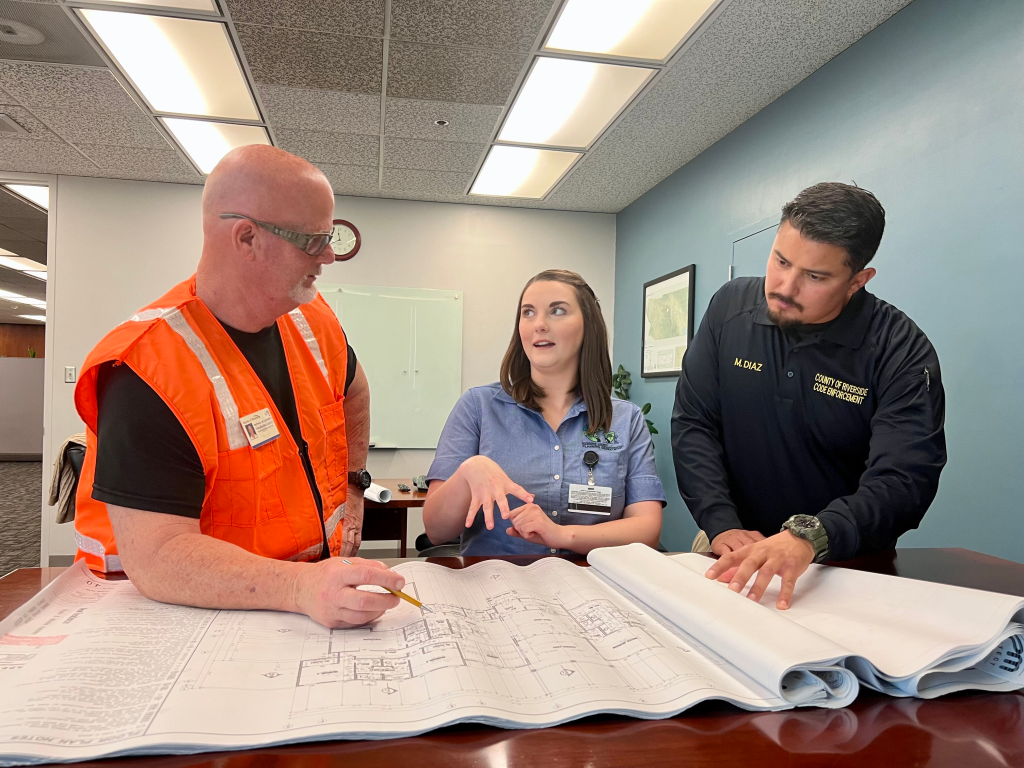
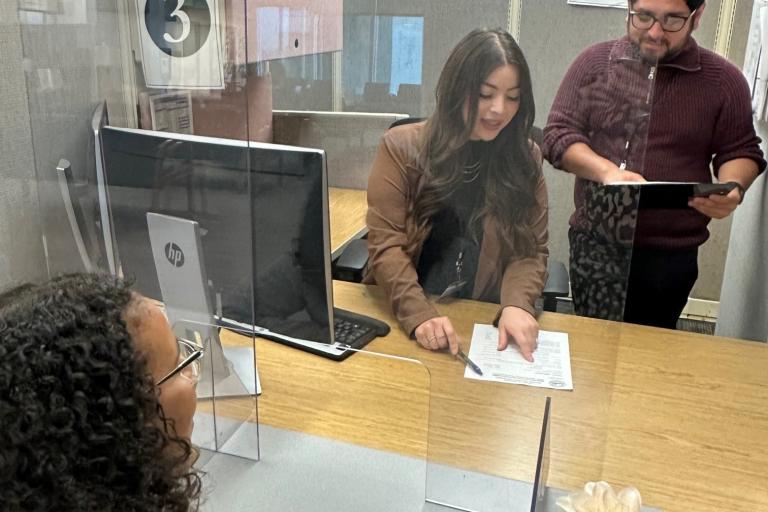
Permit Services
Permit Assistance Center now accepting in-person transactions for both walk-ins and appointments.
Click here for transaction types.
Visit individual department websites (see links above in menu under Departments) for instructions on how to schedule appointments and verify which services are available.
Building permits, planning cases and transportation applications will continue to be accepted online. Prior to applying online, visit individual department websites (see links above in menu under Departments) for instructions on required applications, supplemental forms and plans.
Image
TLMA Departments